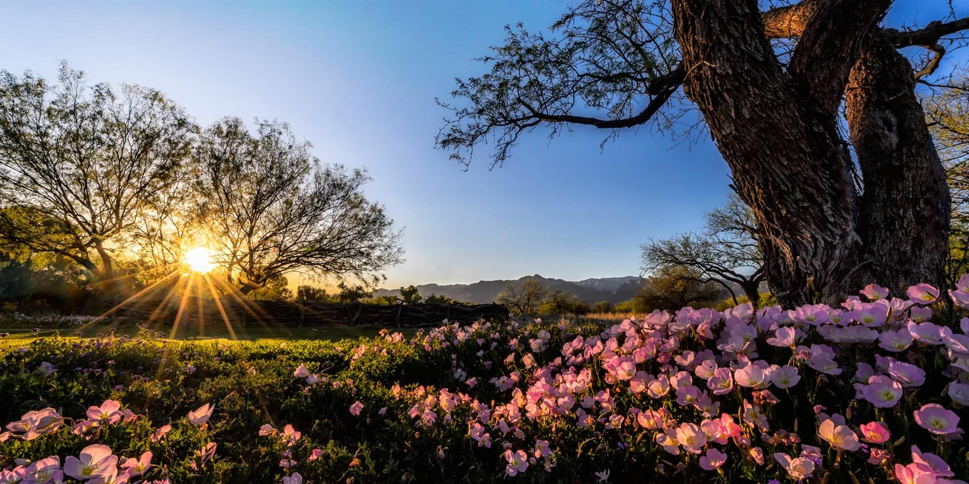
Southern Arizona
Dave Bertelsen’s Flowering Chart
Since 1984, Dave hiked Finger Rock Trail, elevation gain of 4258 and five miles long, about 1400 times over 29 years. He created this chart which is based on 147,844 observations of flowering taxa. The flora of the Finger Rock Canyon drainage includes 604 taxa; the chart includes 581 taxa in 77 families that have been seen flowering. He is working closely with Drs. Michael and Theresa Crimmins, a climatologist and ecologist respectively at the University of Arizona to analyze the data. Ten papers have been published to date, including collaborations with researchers at the University of Maryland, University of Michigan, and University of California, Santa Barbara. (This file is huge and may take 1.15 minutes to download.)
Wildflowers of Tucson, Arizona
This site, maintained by T. Beth Kinsey, features photographs and descriptions of the wildflowers of Tucson and Pima County. Currently, there are 467 different species of Tucson, Arizona wildflowers and other plants in this collection. Tucson has a wide variety of flowering plants due to its climate, topography, varied habitats and its location in the biologically diverse Sonoran Desert.
Ajo Peaks to Tinajas Altas: A Flora of Southwestern Arizona Part 5:Monocots except grasses. A floristic account is provided for the eleven monocot families except the grass family as part of the vascular plant flora of the contiguous protected areas of Organ Pipe Cactus National Monument, Cabeza Prieta National Wildlife Refuge, and the Tinajas Altas Region in southwestern Arizona(59 pgs).
Flora of the Baboquivari Mountain Chain
The Baboquivari Mountains are located southwest of Tucson on the eastern border of the Tohono O’odham Reservation south of Ajo Highway (Hwy 86). This plant list is an appendix from Baboquivari Mountain Plants: Identification, Ecology and Ethnobotany by Dr. Daniel F. Austin (2010) Reprinted by permission of theUniversity of Arizona Press. This is a preliminary list because there are added species being found regularly within the mountain ranges.(30 pgs.)
Plants of the Cabeza Prieta National Wildlife Refuge
The Cabeza Prieta National Wildlife Refuge is located west and adjacent to Organ Pipe Cactus National Monument. The Cabeza Prieta Natural History Association maintains an educational website with detailed information about native plants (473 species), animals and geology. There are simple search pages to assist in identification of unknown desert plants.
Catalina State Park offers the visitors the opportunity to see typical desert plants species in addition to many that are associated with higher elevations. This list updated in 2013.04 by Joan Tedford includes plants unique the region. (14 pgs).
Empire Mountains are located between the Santa Rita and Rincon mountain ranges, and are bordered on the west by the upper reaches of Davidson Canyon, which holds a major seasonally-dry stream. They are a botanical crossroads located in the transition between Sonoran desert upland and desert grassland, Chihuahuan desert scrub, and Madrean evergreen woodland.
Vegetation and Flora of Fort Bowie National Historic Site
This report of Fort Bowie National Historic Site flora was produced by the USGS in March 1992. Eleven vegetative associations found in the area are described. A total of 470 species are identified (pgs 41-76). The report included an index of species by common names (p 80-83). (85 pgs).
The Vascular Plant and Vertebrate Inventory of Fort Bowie National Historical Site A second report was published by the USGS in December 2006. The plant inventory is in Appendix A. (80 pgs)
Flora of Pan Quemado in Ironwood Forest National Monument
This list first published in 1996 and updated in 2009 includes more than 20 years of fieldwork with contributions from M. Dimmitt, T.Van Devender, and A.L. Reina G (9 pgs.)
Flora of the Ragged Top Mountains in Ironwood Forest National Monument
This list first published in 2001 and updated in 2009 includes more than 20 years of fieldwork with contributions from M. Dimmitt, T.Van Devender, and A.L. Reina G
(13 pgs.) For much more about the biological survey of the Monument, visit this site at the Arizona Sonora Desert Museum.
Flora of the Silverbell Mountains in Ironwood Forest National Monument
This study, updated by John Wiens in 2009, includes more than 20 years of fieldwork with contributions from M. Dimmitt, T.Van Devender, and A.L. Reina G. (11 pgs.)
This list was prepared by the Botany Department of the Arizona Sonora Desert Museum for King Canyon (4 pgs).
Las Cienega National Conservation Area Grass Guide (64 pgs, 8MB) has been assembled by The Nature Conservancy. Herbarium specimens of over 50 grasses were scanned to create images that can be copied or can be examined in detail by using the zoom feature of your computer. Watch for updated versions of this guide at The Nature Conservancy AZ Science website.
Flowering Plants of Madera Canyon: From Proctor to Josephine Saddle
An alphabetical list of common names indicating where and when seen (4 pgs).
Flowering Plants of Madera Canyon and the Santa Rita Mountains
Madera Canyon is in the Coronado National Forest 40 miles south of Tucson. This list of common names by plant type and the families includes Latin names (13 pgs).
Flora and Vegetation of the Mohawk Dunes, located in Yuma County as part of the Barry M. Goldwater Military Range. This report reflects accumulated data from numerous trips to the area with primary collections during 1995-1998 by Richard Felger, Dale Turner and Michael Wilson (33 pgs).
Molina Basin to Mt Lemmon Plant List-Catalina Mountains
An updated (2014.5) plant list where plants are listed by family and Latin and common names, indicating where they are found (19 pgs). An addendum to this list, 2014.5.
Organ Pipe Cactus National Monument
Organ Pipe Cactus National Monument allows the life of the Sonoran Desert to flourish under nearly ideal wilderness conditions. The plants in this list are sorted by family, by scientific and then common name. (17 pgs.)
A Checklist of Vascular Plants for the contiguous protected areas of Organ Pipe Cactus National Monument, Cabeza Prieta National Wildlife Refuge and the Tinajas Atlas, AZ was produced in CANOTIA:Vol 8:2012. (53 pgs.)
The Pinaleno Mountains are Sky Islands located between Safford and Willcox. Due to their location, they are a mix of Rocky Mountain and Madrean species. Extending from 3,000′ at the base to more than 10,000′ on high peaks, the Pinaleños traverse five ecological communities and, according to The Nature Conservancy, contain “the highest diversity of habitats in any mountain range in North America.” The Flora of the Pinaleno Mountains is 544 species.
Vascular Plants of Pima County
A Species Distribution Listing for Township 13 South, Range 15 East (274 pgs) has been assembled and maintained by William T. Kendall (updated July 10, 2013).Catalina Mountain Foothills and Lower Sabino Canyon included in this township.
A Species Distribution Listing for Township 13 South, Range 14 East (249 pgs) has been assembled and maintained by William T. Kendall (updated Aug 24, 2012). The University of Rillito, George Mehl Foothills and Fort Lowell Parks and the Campbell Avenue Farm are located in this township.
A Species Distribution Listing for Township 13 South, Range 16 East (326 pgs) has been assembled and maintained by William T. Kendall (updated Aug 17, 2012). Agua Caliente/Roy P. Drachman Regional Park is included in this township.
A Species Distribution Listing for Township 18 South, Range 16 East (282 pgs) has been assembled and maintained by William T. Kendall (updated March 3, 2014).This township is located in southeastern Pima County. Portions of this township are located within the Coronado National Forest and Las Cienegas National Conservation Area.
Pima County Sonoran Desert Conservation Plan
The award-winning Sonoran Desert Conservation Plan (SDCP) is Pima County’s plan for balancing the conservation and protection of our cultural and natural resource heritage with our efforts to maintain an economically vigorous and fiscally responsible community.
Sabino Canyon Recreational Area list to download
The Sabino Canyon Recreational Area of the Coronado National Forest is located in northeastern Tucson at the base of the Santa Catalina Mountains. This list, prepared by Joan Tedford for the Volunteer Naturalists, includes all of lower Sabino Canyon, the main roads and the Phone Line Trail (14 pgs-updated 2014.04, lastest corrections).
Floristic Surveys of Saguaro National Park
This report of Saguaro National Park flora was produced by the USGS in October 2000. This publication brings together information from four different studies conducted from 1992-1996 into a single volume. (61 pgs)
Santa Cruz River-West Branch, Tucson Plant List
This website contains 270 species, including 186 native species, listed by family, Latin names and growth form. The list was updated in May 2007. (7pgs)
Flora of the Sonoran Desert National Monument
The Sonoran Desert National Monument was established in 2001 because of its rich diversity of plant and animal species. This report, Biological Resources of the Sonoran Desert National Monument, contains a flora with 402 species in 260 genera and 71 families(pp39-96). (124 pgs)